
 The SBOING way ofNAVIGATION!Check out our GPS ultimate navigation mobile app.
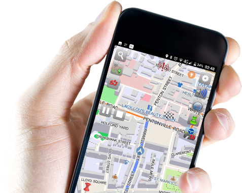


UltiNavi
UltiNavi™
UltiNavi™, is SBOING's GPS ultimate navigation app, which implements and stands in the core of the SBOING collaborative social network and corresponding methodology.

Here’s what you get, completely FREE
(*) SBOING maps are based on the collaborative OpenStreetMap maps, www.openstreetmap.org (© OpenStreetMap contributors)
The Ultimate “Navipedia”, powered by self-validated, social, collaborative crowdsourcing
UltiNavi™ Features
Free
Offered for FREE and uses OpenStreetMap (OSM) maps (FREE).
Crowd-sourcing
Adaptive and self-improving, due to its collaborative and crowd-sourcing nature.
Accurate
Leads to more accurate routing decisions compared to existing commercial PNDs, which are based on static traffic information (i.e. the speed limit).
Adaptive
Is able to distinguish and provide better time estimates, depending on the type of vehicle (e.g., pedestrian, fast / slow motorcycle, fast / slow car, truck, bus, taxi), weather and corresponding road conditions (sun, rain, snow, etc.), time-of-day, day-of-the-week, holiday and season-of-year (an internationally patented idea!).
Usability
High usability (most of its functionality in 1-2 clicks, point definition).
Independent
Has an inherent, independent mechanism: a) to produce new maps (for uncharted areas), and b) for self-updating of existing maps (mark road hazards, POIs, road network changes, define the terrain, etc.).
Personalizable
Multiple user-defined views using user-defined macros (unique feature).
Customizable
High user-configurability (menu configuration, map style/colors, POI layers, favorites categories, etc.)
Smart
Has a 'detour' feature to avoid traffic ahead.
Simulation Mode
Has route simulation mode to try your selected route.
Multi-lingual
Multi-lingual support for text and voice guidance.
Replay Mode
Recorded routes can be replayed (with given PC software or via Google Earth based web application).
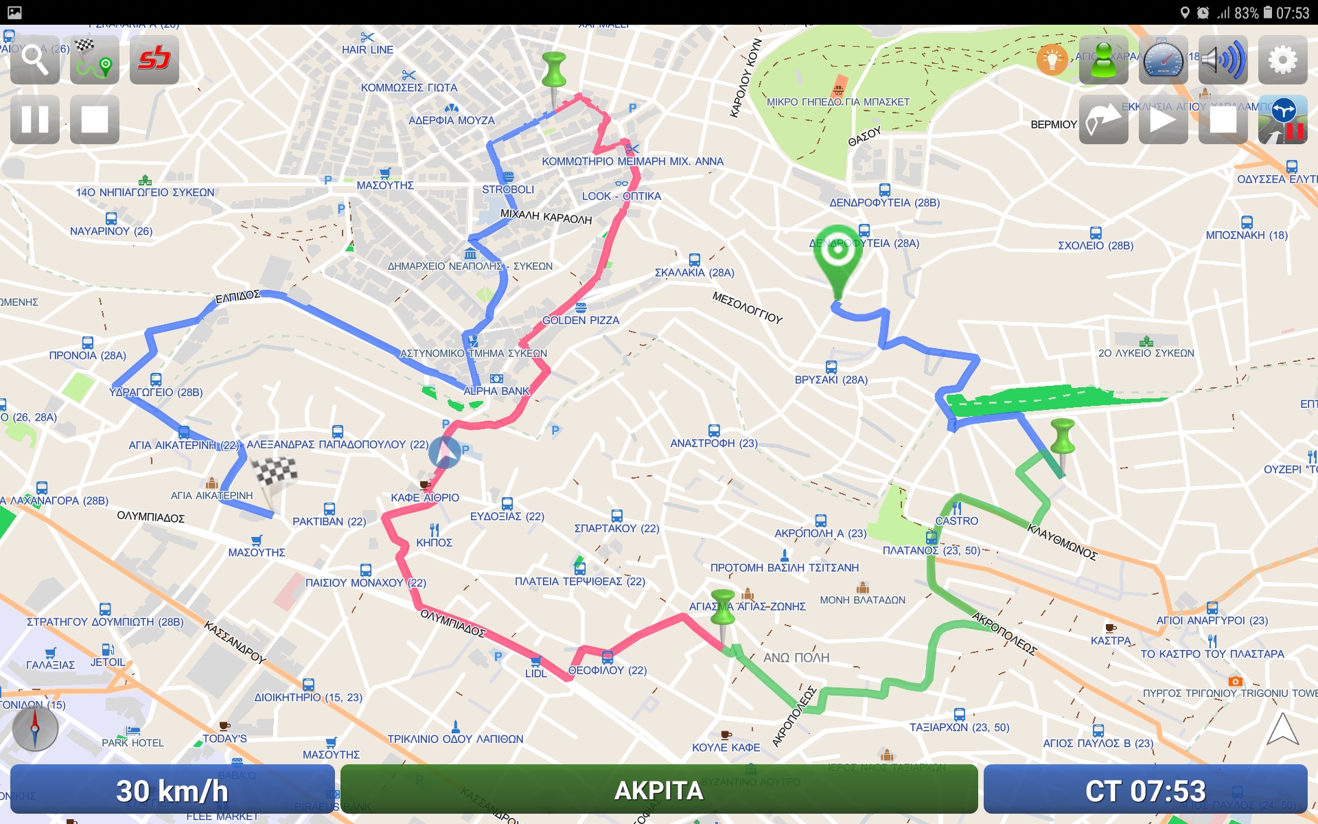
Multi-waypoint
Multi-waypoint routing is supported.
Smooth Performance
Very good performance even with devices with small RAM and cpu capacities.
High compatiblity
Adaptive and compatible with a plethora of PNDs and smart-phones.
Storage Efficient
Can accommodate the entire planet in a single memory card.
Secure
Strong security communications support.


UltiNavi™ Maps
UltiNavi™ uses the offline SBOING™ maps. Choose and download for free your preferred map set.
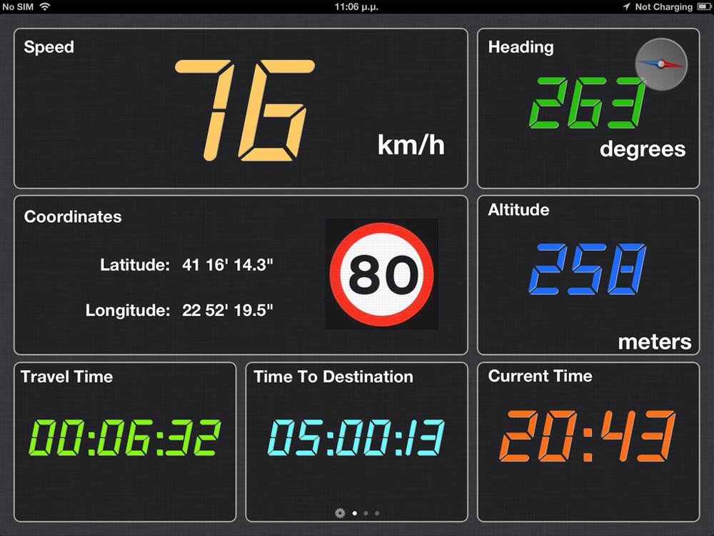
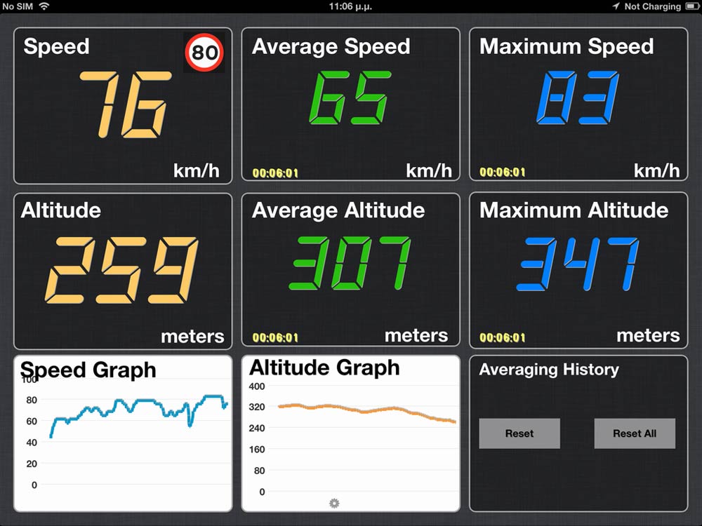
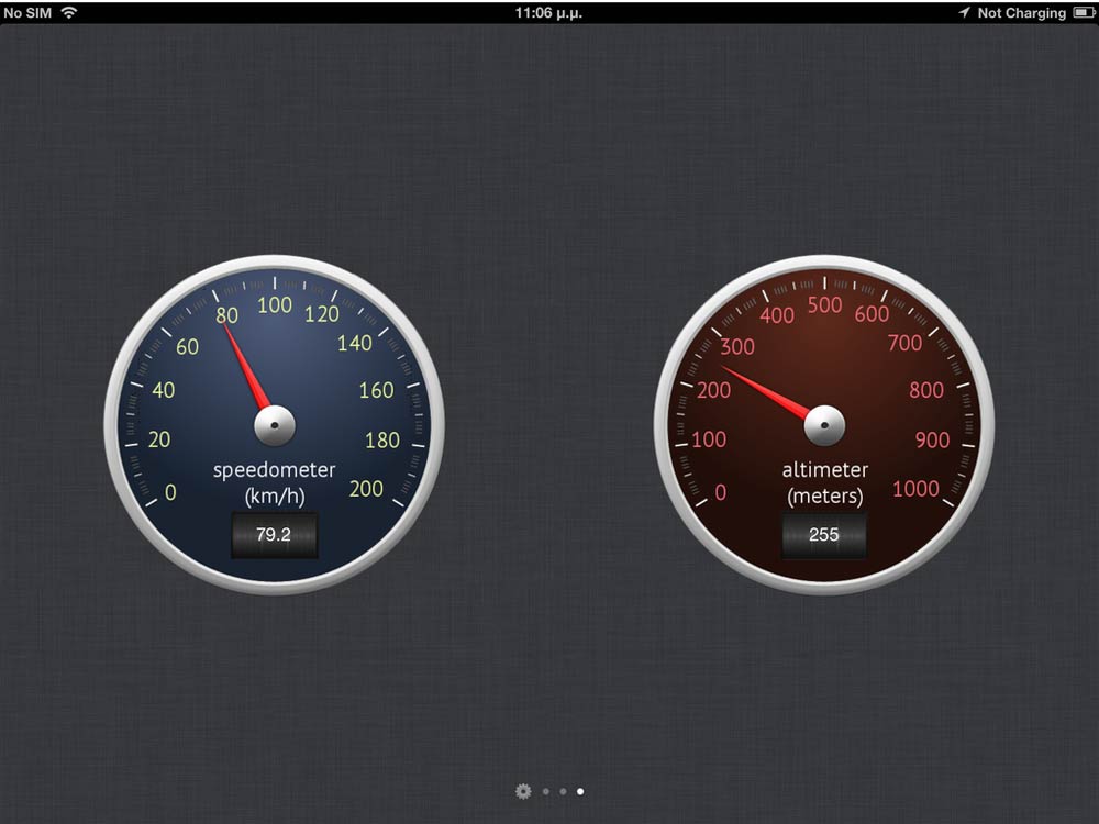
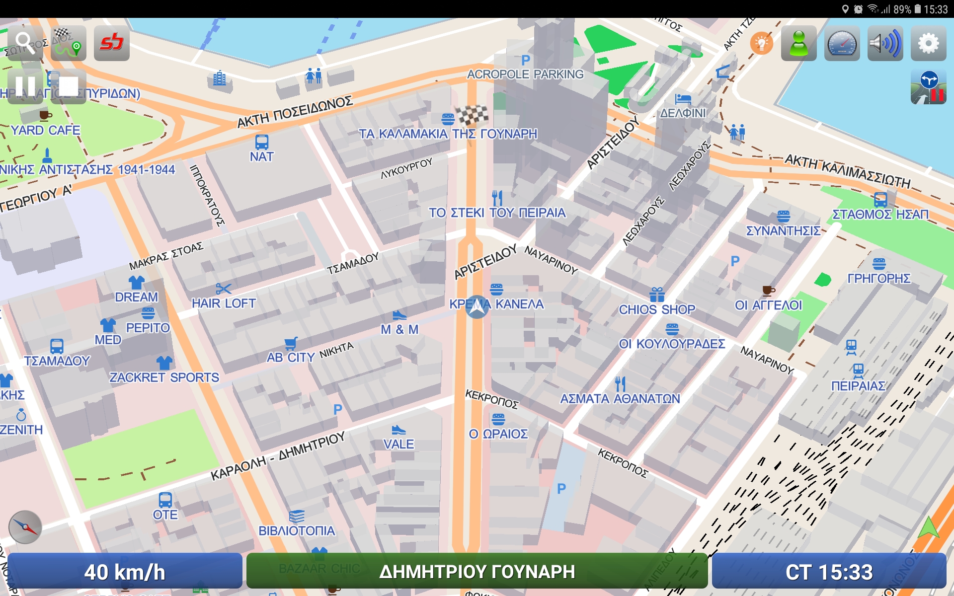
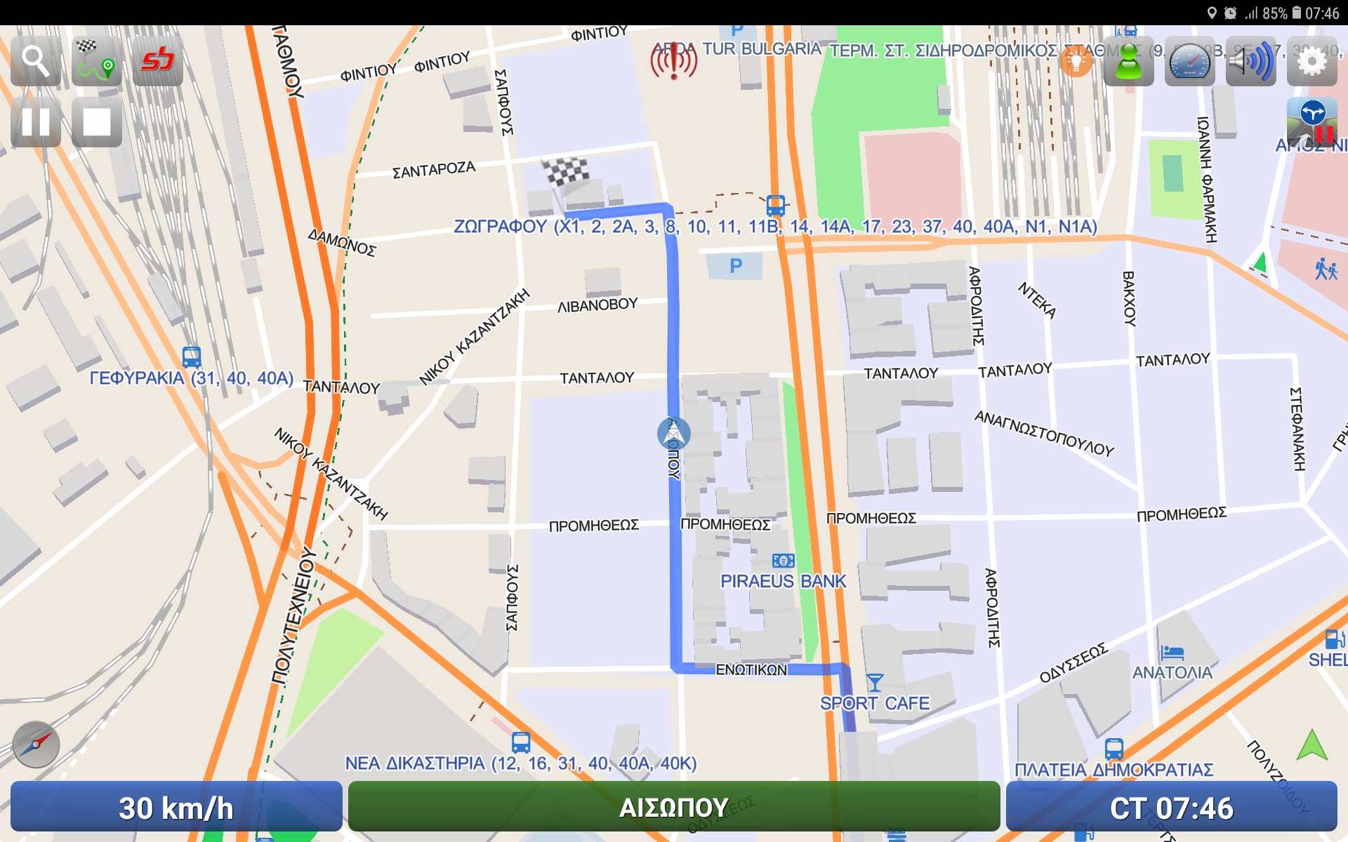
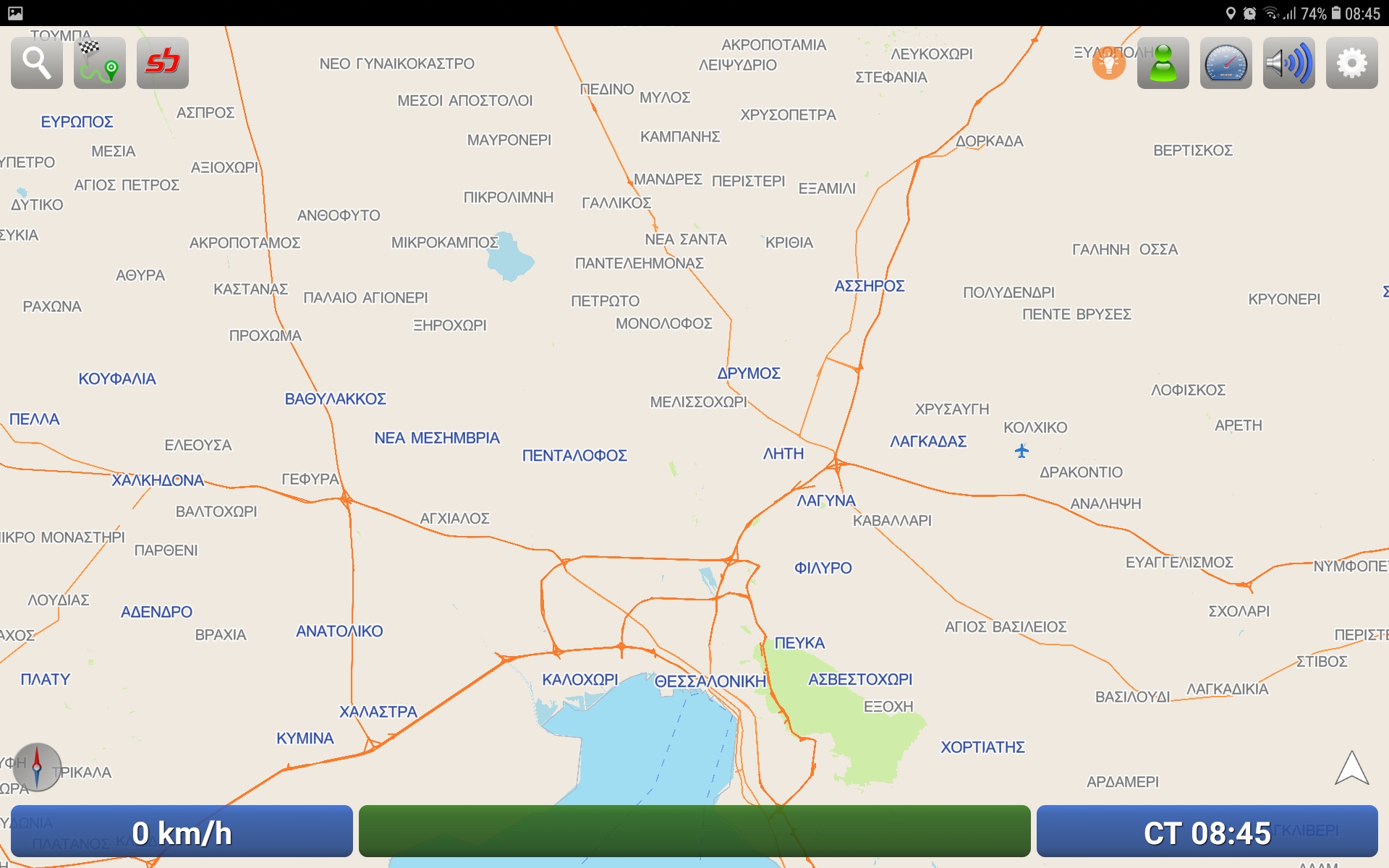
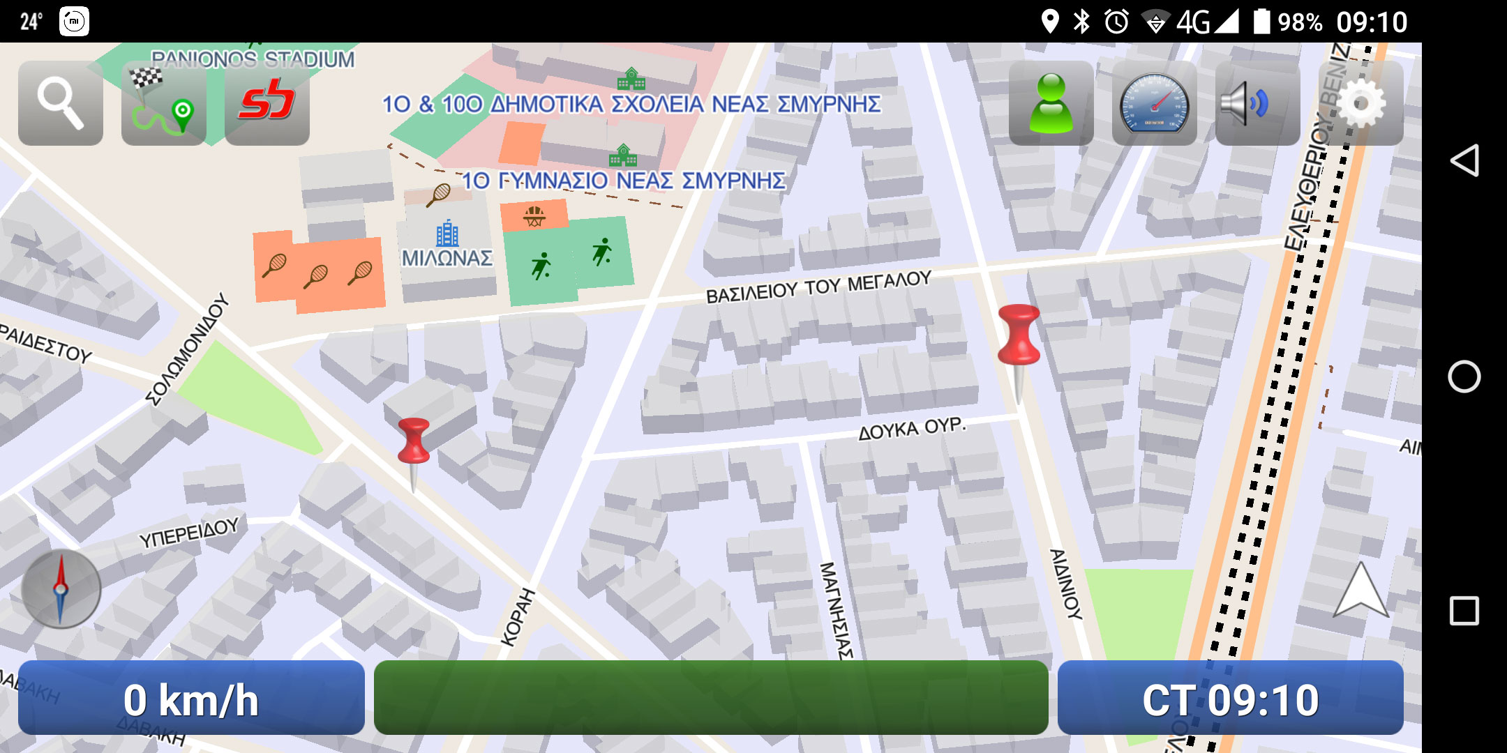
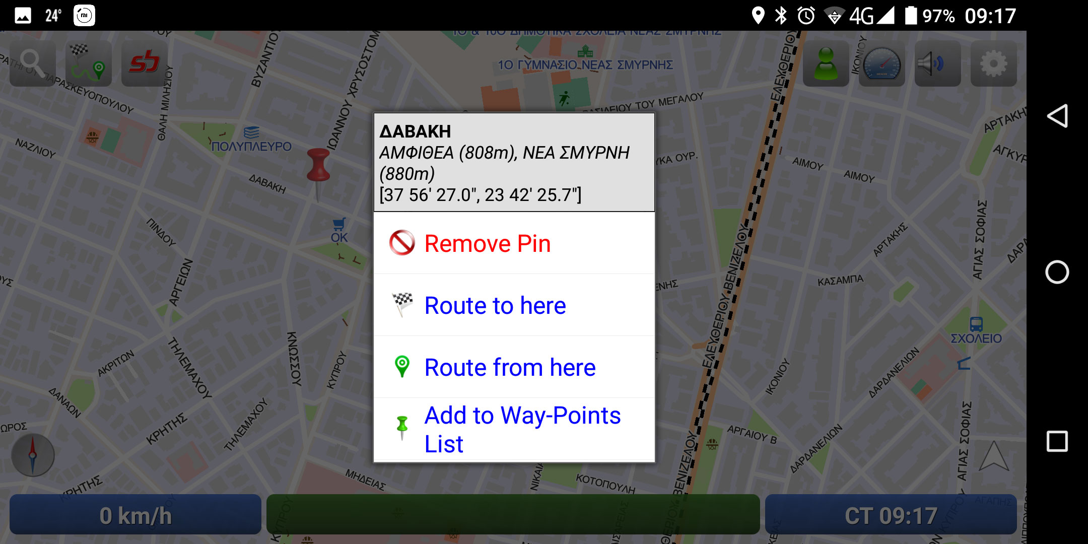
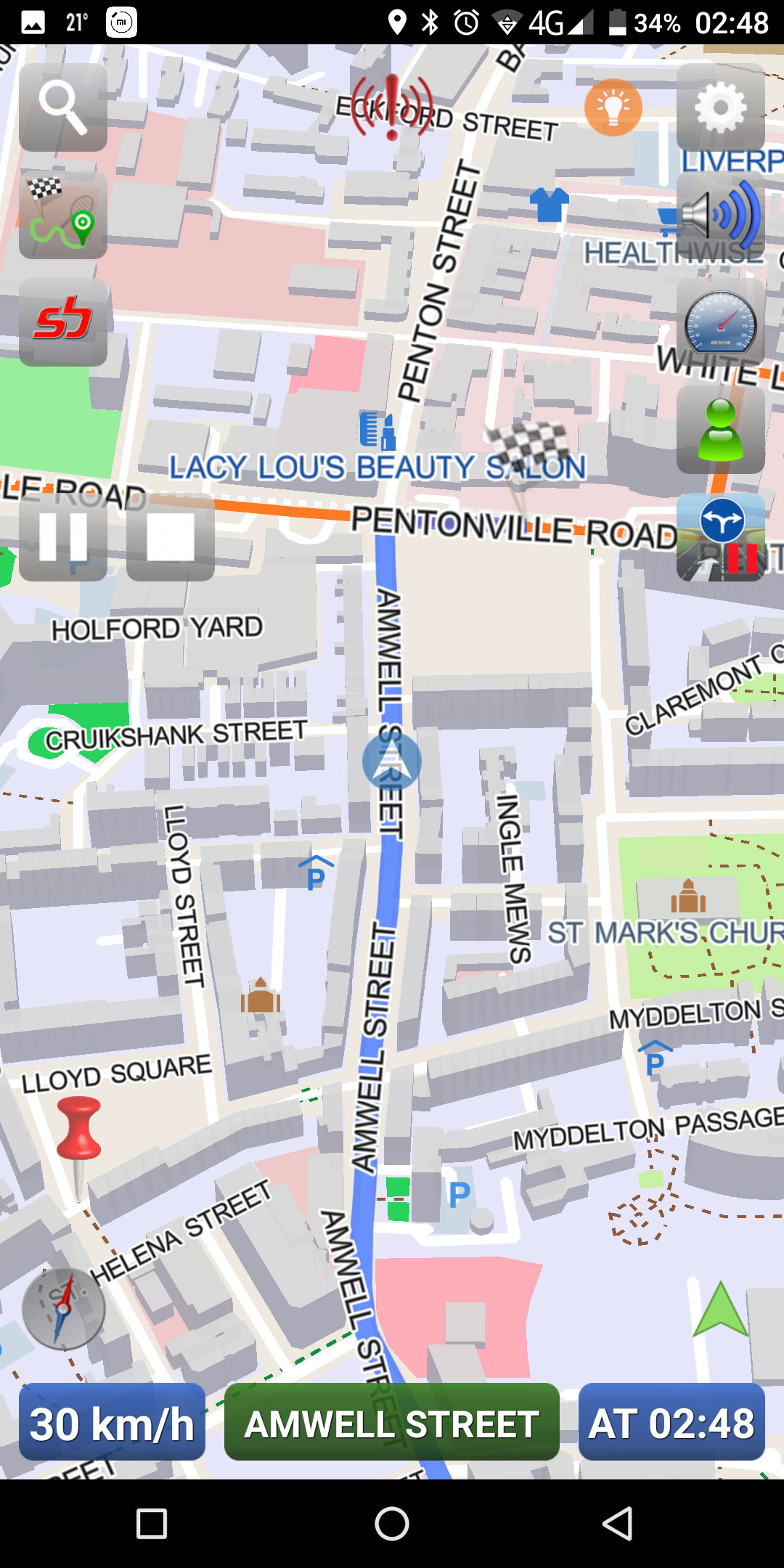
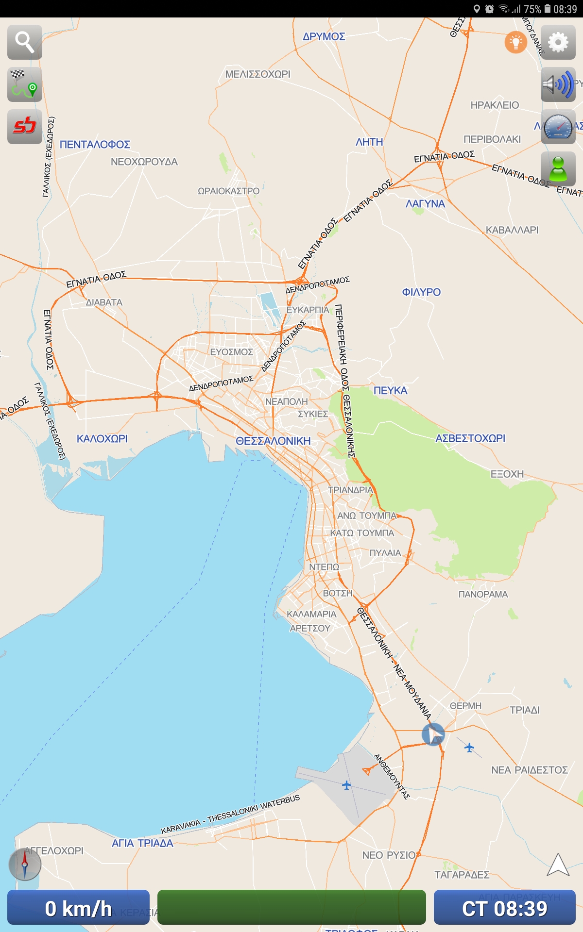
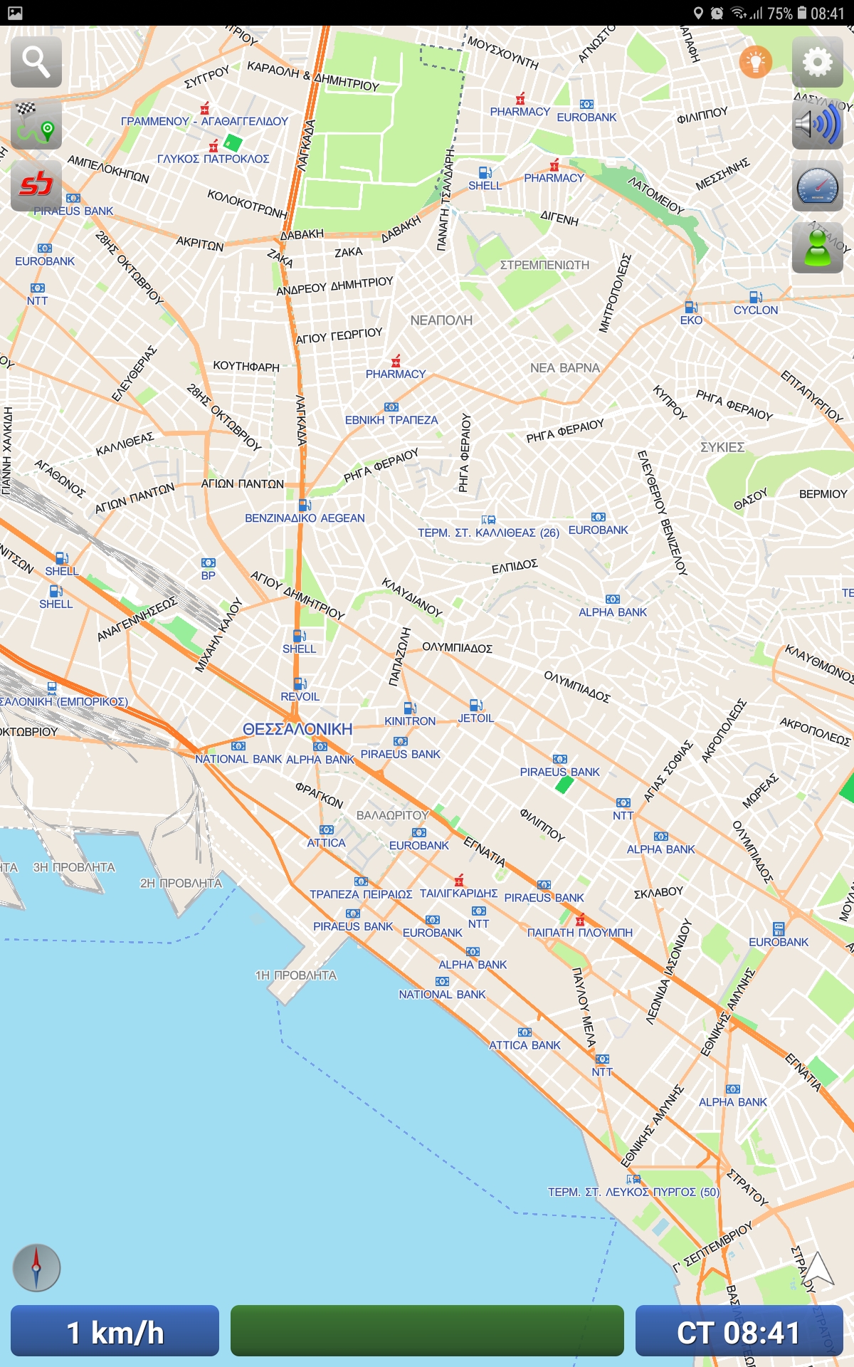
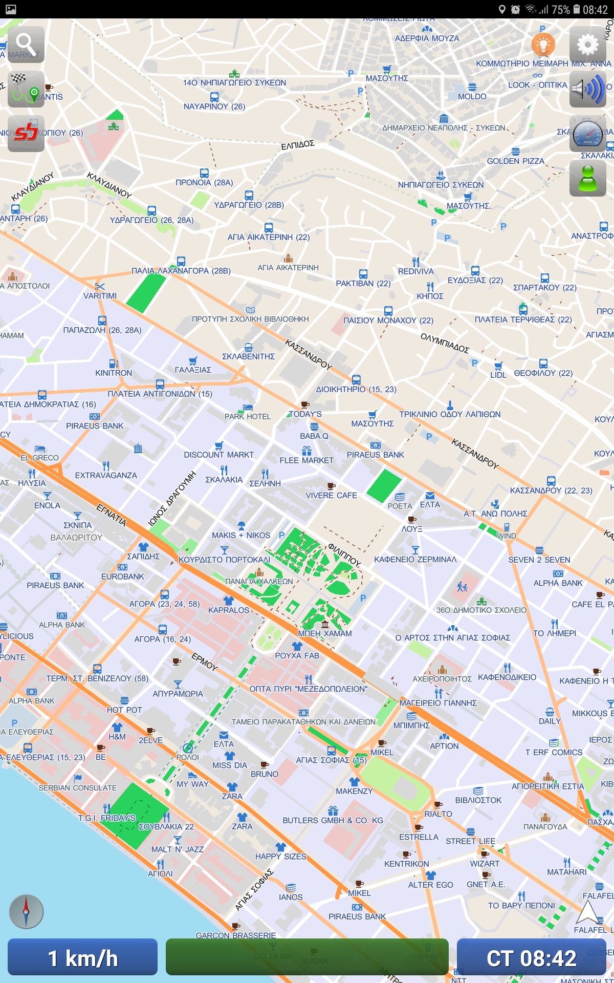
UltiNavi™ Screenshots
Photo gallery with in-app UltiNavi™ screenshots

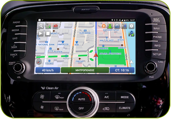 Available for carUltiCarNavi™Specially tailored for in-car consoles

UltiCarNavi™
UltiCarNavi™ is SBOING's GPS navigation app, specially tailored for in-car consoles.